Design Web Format | 2001-06-29 | 31.3 KB | 640x480 | 4-bit (7 colors)
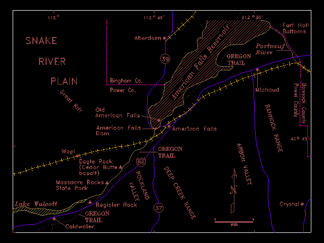
ocr: 113° 112°45' 112' 930' X Fort Holl Bottors SNAKE Aberdeen Portneuf Rer OREGON - RIVER TRAIL d PLAIN Binghom Co. - - a 1 Power Co. : Michaud Old Amerioan Falls- * Americdn talls. Amertcan Falls Dam 420 45 OREGON Wopi TRAIL - - Eagle Rock 0 (Cedar Butte. y bosalt) Massocre Rocks* State Park E 0 A Lake Waloott Regisler Rock 37 Crystale OREGON TRAIL Coldwaler VICS